 vesseltracker.com
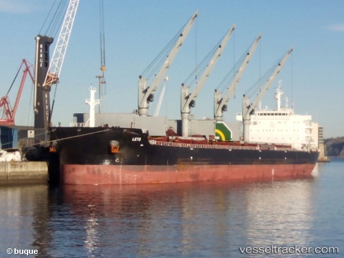
 LETO
LETO
Current Status
Where is the vessel?
LETO is currently in 242 nm W of Panjang, based on AIS data received about 1h ago.
Latest AIS update:
Current position: 7.90167° S, 101.51833° E (242 nm W of Panjang)
Average speed (last 7 days): Loading…
Average speed (last 30 days): Loading…
Vessel profile: LETO is a Cargo with dimensions m x m.
This page combines live AIS, route history, probable destination signals, nearby traffic, and port activity for practical vessel monitoring.
The current position of vessel LETO is -7.90167 lat / 101.51833 lng. Updated: 2026-04-01 15:44:57 UTCNearest reference points:
- 163 nm W of Panjang
- 293 nm SW of Lahat
Currently sailing under the flag of Bahamas ![]()
Details:
Live Vessel LETO Analytics (details, animations, etc.)
Recent AIS points (UTC):
2026-04-01 09:26:55 UTC · -8.28167, 100.61833 · SOG 9 kn · COG -1°2026-04-01 11:32:57 UTC · -8.15333, 100.92167 · SOG 9 kn · COG -1°
2026-04-01 13:47:58 UTC · -8.01833, 101.24333 · SOG 9 kn · COG -1°
2026-04-01 15:44:57 UTC · -7.90167, 101.51833 · SOG 8 kn · COG -1°