 vesseltracker.com
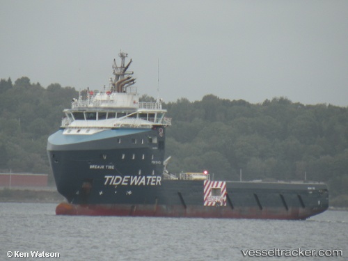
Breaux Tide
Current StatusWhere is the vessel?
Breaux Tide is currently in 95 nm N of Jarikaba, based on AIS data received about 6h ago.
Latest AIS update:
Current position: 7.31617° N, 55.83261° W (95 nm N of Jarikaba)
Average speed (last 7 days): Loading…
Average speed (last 30 days): Loading…
Vessel profile: Breaux Tide is a Offshore Tug Supply Ship with dimensions 20m x 84m.
This page combines live AIS, route history, probable destination signals, nearby traffic, and port activity for practical vessel monitoring.
The current position of vessel Breaux Tide is 7.31617 lat / -55.83261 lng. Updated: 2026-04-05 08:35:46 UTCNearest reference points:
- 38 nm NW of Jarikaba
- Near Paramaribo Zorg en Hoop Airport
- 57 nm NE of Adventure
Details:
Live Vessel Breaux Tide Analytics (details, animations, etc.)
Recent AIS points (UTC):
2026-04-05 05:07:26 UTC · 7.31648, -55.83196 · SOG 0.7 kn · COG 95°2026-04-05 05:53:13 UTC · 7.31362, -55.83230 · SOG 0.7 kn · COG 96°
2026-04-05 08:01:04 UTC · 7.31434, -55.83270 · SOG 1.2 kn · COG 91°
2026-04-05 08:35:46 UTC · 7.31617, -55.83261 · SOG 0.7 kn · COG 93°