 vesseltracker.com
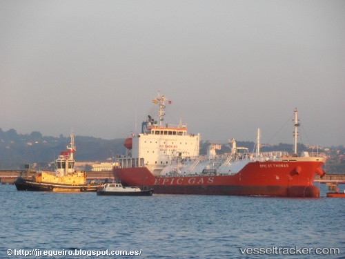
 GAS NOBLE
Current Status
Where is the vessel?
GAS NOBLE is currently in 20 nm SW of SIREVAG, based on AIS data received less than 1h ago.
Latest AIS update:
Current position: 58.32317° N, 5.27279° E (20 nm SW of SIREVAG)
Average speed (last 7 days): Loading…
Average speed (last 30 days): Loading…
Vessel profile: GAS NOBLE is a Tanker with dimensions m x m.
This page combines live AIS, route history, probable destination signals, nearby traffic, and port activity for practical vessel monitoring.
The current position of vessel GAS NOBLE is 58.32317 lat / 5.27279 lng. Updated: 2026-03-29 13:24:52 UTCNearest reference points:
- Near Lura
- Near Egersund
- Near HUSOYA
Currently sailing under the flag of Marshall Islands ![]()
Details:
Live Vessel GAS NOBLE Analytics (details, animations, etc.)
Recent AIS points (UTC):
2026-03-29 07:56:32 UTC · 59.25218, 5.51196 · SOG 8.2 kn · COG 163°2026-03-29 09:59:01 UTC · 58.93481, 5.29747 · SOG 11.7 kn · COG 182°
2026-03-29 11:47:11 UTC · 58.60010, 5.23765 · SOG 10.9 kn · COG 185°
2026-03-29 13:24:52 UTC · 58.32317, 5.27279 · SOG 9.7 kn · COG 141°