 vesseltracker.com
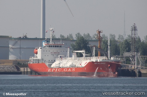
 GAS PEACE
Current Status
Where is the vessel?
GAS PEACE is currently in Near MONGSTAD , based on AIS data received about 1h ago.
Latest AIS update:
Current position: 60.81460° N, 5.02102° E (Near MONGSTAD )
Average speed (last 7 days): Loading…
Average speed (last 30 days): Loading…
Vessel profile: GAS PEACE is a Lpg Tanker with dimensions m x m.
This page combines live AIS, route history, probable destination signals, nearby traffic, and port activity for practical vessel monitoring.
The current position of vessel GAS PEACE is 60.81460 lat / 5.02102 lng. Updated: 2026-04-15 11:31:20 UTCNearest reference points:
- Near Eivindvik
- Near Solund
- Near Skålevik
Currently sailing under the flag of Marshall Islands ![]()
Details:
Live Vessel GAS PEACE Analytics (details, animations, etc.)
Recent AIS points (UTC):
2026-04-15 05:52:17 UTC · 60.81460, 5.02102 · SOG 0 kn · COG 260°2026-04-15 07:19:22 UTC · 60.81457, 5.02093 · SOG 0 kn · COG 260°
2026-04-15 10:22:18 UTC · 60.81462, 5.02101 · SOG 0 kn · COG 260°
2026-04-15 11:31:20 UTC · 60.81460, 5.02102 · SOG 0 kn · COG 260°