 vesseltracker.com
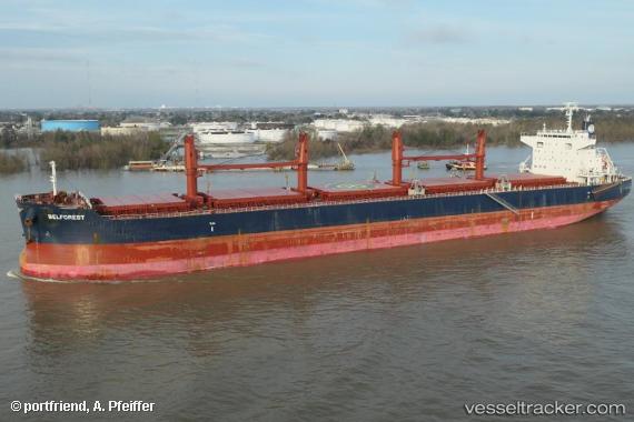
 BELFOREST
Current Status
Where is the vessel?
BELFOREST is currently in Near Redhead, based on AIS data received about 2h ago.
Latest AIS update:
Current position: 33.06146° S, 151.76147° E (Near Redhead)
Average speed (last 7 days): Loading…
Average speed (last 30 days): Loading…
Vessel profile: BELFOREST is a Bulk Carrier with dimensions 200m x 32m.
This page combines live AIS, route history, probable destination signals, nearby traffic, and port activity for practical vessel monitoring.
The current position of vessel BELFOREST is -33.06146 lat / 151.76147 lng. Updated: 2026-04-12 19:33:18 UTCNearest reference points:
- Near Caves Beach
- Near Warners Bay
- Near BILGOLA PLATEAU
Currently sailing under the flag of Norway (NIS) ![]()
BELFOREST built in 2015 year
Deadweight:
61252 tDetails:
Live Vessel BELFOREST Analytics (details, animations, etc.)
Recent AIS points (UTC):
2026-04-12 14:06:12 UTC · -33.06204, 151.76189 · SOG 0.1 kn · COG 222°2026-04-12 16:00:27 UTC · -33.06167, 151.76167 · SOG 0 kn · COG -1°
2026-04-12 17:21:17 UTC · -33.06204, 151.76202 · SOG 0.2 kn · COG 220°
2026-04-12 19:33:18 UTC · -33.06146, 151.76147 · SOG 0.2 kn · COG 220°