 vesseltracker.com
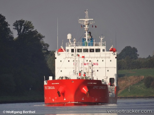
 GAS TOP
Current Status
Where is the vessel?
GAS TOP is currently in Near Christiansted, based on AIS data received less than 1h ago.
Latest AIS update:
Current position: 17.76999° N, 64.69901° W (Near Christiansted)
Average speed (last 7 days): Loading…
Average speed (last 30 days): Loading…
Vessel profile: GAS TOP is a Tanker with dimensions m x m.
This page combines live AIS, route history, probable destination signals, nearby traffic, and port activity for practical vessel monitoring.
The current position of vessel GAS TOP is 17.76999 lat / -64.69901 lng. Updated: 2026-04-02 18:12:50 UTCNearest reference points:
- Near ST CROIX
- Near Frederiksted
- 10 nm SE of Limetree Bay
Currently sailing under the flag of Portugal ![]()
Details:
Live Vessel GAS TOP Analytics (details, animations, etc.)
Recent AIS points (UTC):
2026-04-02 11:57:51 UTC · 18.32110, -64.98358 · SOG 0.1 kn · COG 98°2026-04-02 14:09:31 UTC · 18.12830, -64.99331 · SOG 12.4 kn · COG 200°
2026-04-02 15:49:09 UTC · 18.00832, -64.77581 · SOG 10.7 kn · COG 92°
2026-04-02 18:12:50 UTC · 17.76999, -64.69901 · SOG 6.3 kn · COG 174°