 vesseltracker.com
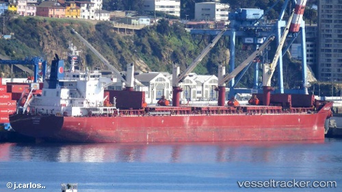
 YANNIS PITTAS
Current Status
Where is the vessel?
YANNIS PITTAS is currently in 12 nm S of ILHA GUAIBA, based on AIS data received about 1h ago.
Latest AIS update:
Current position: 23.21184° S, 44.02751° W (12 nm S of ILHA GUAIBA)
Average speed (last 7 days): Loading…
Average speed (last 30 days): Loading…
Vessel profile: YANNIS PITTAS is a Cargo with dimensions m x m.
This page combines live AIS, route history, probable destination signals, nearby traffic, and port activity for practical vessel monitoring.
The current position of vessel YANNIS PITTAS is -23.21184 lat / -44.02751 lng. Updated: 2026-03-27 15:47:46 UTCNearest reference points:
- Near ILHA GUAIBA
- Near SANTA RITA
- Near CUNHAMBEBE
Currently sailing under the flag of Marshall Islands ![]()
Details:
Live Vessel YANNIS PITTAS Analytics (details, animations, etc.)
Recent AIS points (UTC):
2026-03-27 09:46:15 UTC · -23.21215, -44.02708 · SOG 0.1 kn · COG -1°2026-03-27 11:19:20 UTC · -23.21293, -44.02736 · SOG 0.1 kn · COG 72°
2026-03-27 13:39:28 UTC · -23.21210, -44.02725 · SOG 0.1 kn · COG 117°
2026-03-27 15:47:46 UTC · -23.21184, -44.02751 · SOG 0.1 kn · COG -1°