 vesseltracker.com
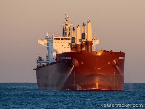
 MARIA
MARIA
Current Status
Where is the vessel?
MARIA is currently in Near Norfolk, based on AIS data received about 16h ago.
Latest AIS update:
Current position: 36.77776° N, 76.29655° W (Near Norfolk)
Average speed (last 7 days): Loading…
Average speed (last 30 days): Loading…
Vessel profile: MARIA is a Cargo with dimensions m x m.
This page combines live AIS, route history, probable destination signals, nearby traffic, and port activity for practical vessel monitoring.
The current position of vessel MARIA is 36.77776 lat / -76.29655 lng. Updated: 2026-04-10 07:43:56 UTCNearest reference points:
- Near Norfolk
- Near Fentress
- Near Sewell's Point
Currently sailing under the flag of Marshall Islands ![]()
Details:
Live Vessel MARIA Analytics (details, animations, etc.)
Recent AIS points (UTC):
2026-04-10 02:19:56 UTC · 36.77778, -76.29657 · SOG 0.1 kn · COG -1°2026-04-10 04:13:56 UTC · 36.77776, -76.29658 · SOG 0 kn · COG -1°
2026-04-10 06:25:56 UTC · 36.77777, -76.29657 · SOG 0 kn · COG -1°
2026-04-10 07:43:56 UTC · 36.77776, -76.29655 · SOG 0.1 kn · COG -1°