 vesseltracker.com
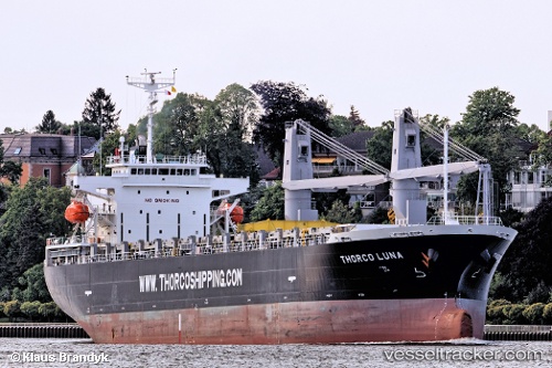
 NORD LING
Current Status
Where is the vessel?
NORD LING is currently in Near Dartmouth, based on AIS data received about 1h ago.
Latest AIS update:
Current position: 44.67437° N, 63.60423° W (Near Dartmouth)
Average speed (last 7 days): Loading…
Average speed (last 30 days): Loading…
Vessel profile: NORD LING is a Cargo with dimensions m x m.
This page combines live AIS, route history, probable destination signals, nearby traffic, and port activity for practical vessel monitoring.
The current position of vessel NORD LING is 44.67437 lat / -63.60423 lng. Updated: 2026-04-07 17:28:14 UTCNearest reference points:
- Near Halifax
- Near Eastern Passage
- 20 nm S of Head of Jeddore
Currently sailing under the flag of Panama ![]()
Details:
Live Vessel NORD LING Analytics (details, animations, etc.)
Recent AIS points (UTC):
2026-04-07 11:37:14 UTC · 44.67435, -63.60422 · SOG 0 kn · COG 294°2026-04-07 14:01:14 UTC · 44.67435, -63.60423 · SOG 0 kn · COG 293°
2026-04-07 15:43:14 UTC · 44.67434, -63.60424 · SOG 0.1 kn · COG 293°
2026-04-07 17:28:14 UTC · 44.67437, -63.60423 · SOG 0 kn · COG 293°