 vesseltracker.com
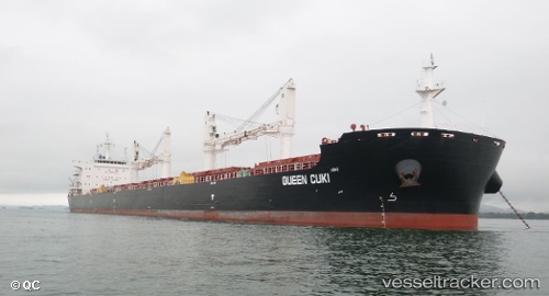
Cape Town Eagle
Current StatusWhere is the vessel?
Cape Town Eagle is currently in 133 nm NE of Roches Noire, based on AIS data received less than 1h ago.
Latest AIS update:
Current position: 18.71617° S, 59.53731° E (133 nm NE of Roches Noire)
Average speed (last 7 days): Loading…
Average speed (last 30 days): Loading…
Vessel profile: Cape Town Eagle is a Bulk Carrier with dimensions 32m x 200m.
This page combines live AIS, route history, probable destination signals, nearby traffic, and port activity for practical vessel monitoring.
The current position of vessel Cape Town Eagle is -18.71617 lat / 59.53731 lng. Updated: 2026-04-12 19:41:08 UTCNearest reference points:
- 159 nm W of Rodrigues
- Near Port Louis
- 219 nm NW of Port Mathurin
Details:
Live Vessel Cape Town Eagle Analytics (details, animations, etc.)
Recent AIS points (UTC):
2026-04-12 14:03:55 UTC · -19.43665, 58.95125 · SOG 10 kn · COG 40°2026-04-12 15:33:28 UTC · -19.24325, 59.10744 · SOG 9.4 kn · COG 41°
2026-04-12 17:58:36 UTC · -18.93811, 59.35638 · SOG 9.8 kn · COG 37°
2026-04-12 19:41:08 UTC · -18.71617, 59.53731 · SOG 9.9 kn · COG 39°