 vesseltracker.com
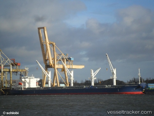
 SIDER ONDA
Current Status
Where is the vessel?
SIDER ONDA is currently in 14 nm NW of Offagna, based on AIS data received about 1h ago.
Latest AIS update:
Current position: 44.03630° N, 13.52171° E (14 nm NW of Offagna)
Average speed (last 7 days): Loading…
Average speed (last 30 days): Loading…
Vessel profile: SIDER ONDA is a Cargo with dimensions m x m.
This page combines live AIS, route history, probable destination signals, nearby traffic, and port activity for practical vessel monitoring.
The current position of vessel SIDER ONDA is 44.03630 lat / 13.52171 lng. Updated: 2026-04-12 21:27:52 UTCNearest reference points:
- Near Fano
- Near Gabicce Mare
- Near IVANA C
Currently sailing under the flag of Portugal ![]()
Details:
Live Vessel SIDER ONDA Analytics (details, animations, etc.)
Recent AIS points (UTC):
2026-04-12 15:29:46 UTC · 44.49209, 12.27858 · SOG 4.2 kn · COG 79°2026-04-12 17:48:25 UTC · 44.39110, 12.76774 · SOG 10.7 kn · COG 113°
2026-04-12 19:50:49 UTC · 44.21258, 13.19093 · SOG 10.7 kn · COG 154°
2026-04-12 21:27:52 UTC · 44.03630, 13.52171 · SOG 11 kn · COG 124°