 vesseltracker.com
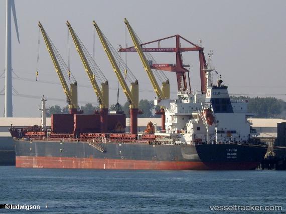
 LAURA
LAURA
Current Status
Where is the vessel?
LAURA is currently in 180 nm SW of Monrovia, based on AIS data received about 1d ago.
Latest AIS update:
Current position: 3.71167° N, 12.28667° W (180 nm SW of Monrovia)
Average speed (last 7 days): Loading…
Average speed (last 30 days): Loading…
Vessel profile: LAURA is a Cargo with dimensions m x m.
This page combines live AIS, route history, probable destination signals, nearby traffic, and port activity for practical vessel monitoring.
The current position of vessel LAURA is 3.71167 lat / -12.28667 lng. Updated: 2026-04-10 07:31:23 UTCNearest reference points:
- 110 nm SW of River Cess
- 126 nm SW of YORK
- 15 nm SW of Buchanan
Currently sailing under the flag of Liberia ![]()
Details:
Live Vessel LAURA Analytics (details, animations, etc.)
Recent AIS points (UTC):
2026-04-10 02:34:23 UTC · 2.94833, -11.73833 · SOG 11 kn · COG -1°2026-04-10 04:16:24 UTC · 3.21333, -11.91833 · SOG 11 kn · COG -1°
2026-04-10 05:22:29 UTC · 3.37731, -12.05104 · SOG 11.2 kn · COG 320°
2026-04-10 07:31:23 UTC · 3.71167, -12.28667 · SOG 11 kn · COG -1°