 vesseltracker.com
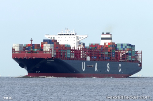
 AL MURABBA
Current Status
Where is the vessel?
AL MURABBA is currently in Near Koper, based on AIS data received about 1h ago.
Latest AIS update:
Current position: 45.58344° N, 13.68416° E (Near Koper)
Average speed (last 7 days): Loading…
Average speed (last 30 days): Loading…
Vessel profile: AL MURABBA is a Cargo A with dimensions m x m.
This page combines live AIS, route history, probable destination signals, nearby traffic, and port activity for practical vessel monitoring.
The current position of vessel AL MURABBA is 45.58344 lat / 13.68416 lng. Updated: 2026-04-20 02:18:08 UTCNearest reference points:
- Near IZOLA
- Near Ankaran
- Near Trieste
Currently sailing under the flag of Liberia ![]()
Details:
Live Vessel AL MURABBA Analytics (details, animations, etc.)
Recent AIS points (UTC):
2026-04-19 22:27:57 UTC · 45.58361, 13.68326 · SOG 0 kn · COG 95°2026-04-20 00:18:56 UTC · 45.58416, 13.68327 · SOG 0 kn · COG 120°
2026-04-20 01:31:32 UTC · 45.58413, 13.68330 · SOG 0 kn · COG 124°
2026-04-20 02:18:08 UTC · 45.58344, 13.68416 · SOG 0.3 kn · COG 130°