 vesseltracker.com
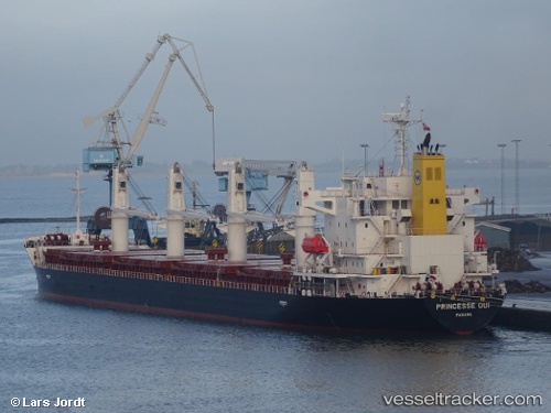
 ECO NEMESIS
Current Status
Where is the vessel?
ECO NEMESIS is currently in 14 nm SE of Taman, based on AIS data received about 3d ago.
Latest AIS update:
Current position: 45.11557° N, 37.01327° E (14 nm SE of Taman)
Average speed (last 7 days): Loading…
Average speed (last 30 days): Loading…
Vessel profile: ECO NEMESIS is a Cargo with dimensions m x m.
This page combines live AIS, route history, probable destination signals, nearby traffic, and port activity for practical vessel monitoring.
The current position of vessel ECO NEMESIS is 45.11557 lat / 37.01327 lng. Updated: 2026-04-02 01:09:55 UTCNearest reference points:
- 20 nm S of Taman'
- 10 nm SW of Taman'
- Near Temryuk
Currently sailing under the flag of Liberia ![]()
Details:
Live Vessel ECO NEMESIS Analytics (details, animations, etc.)
Recent AIS points (UTC):
2026-03-29 21:11:29 UTC · 43.34602, 36.46504 · SOG 11.6 kn · COG -1°2026-04-02 01:09:55 UTC · 45.11557, 37.01327 · SOG 7.5 kn · COG -1°
2026-04-02 01:09:55 UTC · 45.11557, 37.01327 · SOG 7.5 kn · COG -1°
2026-04-02 01:09:55 UTC · 45.11557, 37.01327 · SOG 7.5 kn · COG -1°