 vesseltracker.com
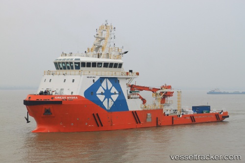
 SAFEEN HYDRA
Current Status
Where is the vessel?
SAFEEN HYDRA is currently in 20 nm NW of Abu Dhabi, based on AIS data received about 3d ago.
Latest AIS update:
Current position: 24.88217° N, 54.17876° E (20 nm NW of Abu Dhabi)
Average speed (last 7 days): Loading…
Average speed (last 30 days): Loading…
Vessel profile: SAFEEN HYDRA is a Other Type with dimensions m x m.
This page combines live AIS, route history, probable destination signals, nearby traffic, and port activity for practical vessel monitoring.
The current position of vessel SAFEEN HYDRA is 24.88217 lat / 54.17876 lng. Updated: 2026-04-07 17:22:03 UTCNearest reference points:
- Near KHALIFA
- 11 nm SW of Fateh Terminal
- Near Esnnad
Currently sailing under the flag of Marshall Islands ![]()
Details:
Live Vessel SAFEEN HYDRA Analytics (details, animations, etc.)
Recent AIS points (UTC):
2026-04-07 15:59:47 UTC · 24.30356, 54.45929 · SOG 0 kn · COG 93°2026-04-07 17:07:55 UTC · 24.88822, 54.17396 · SOG 48.6 kn · COG 93°
2026-04-07 17:22:03 UTC · 24.88217, 54.17876 · SOG 48.6 kn · COG 93°
2026-04-07 17:22:03 UTC · 24.88217, 54.17876 · SOG 48.6 kn · COG 93°