 vesseltracker.com
 NANAMI FORTUNE
Current Status
Where is the vessel?
NANAMI FORTUNE is currently in Near NESNA, based on AIS data received about 1h ago.
Latest AIS update:
Current position: 66.23967° N, 13.07955° E (Near NESNA)
Average speed (last 7 days): Loading…
Average speed (last 30 days): Loading…
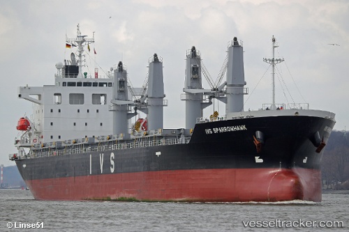
Vessel profile: NANAMI FORTUNE is a Cargo with dimensions m x m.
This page combines live AIS, route history, probable destination signals, nearby traffic, and port activity for practical vessel monitoring.
The current position of vessel NANAMI FORTUNE is 66.23967 lat / 13.07955 lng. Updated: 2026-03-26 09:46:59 UTCNearest reference points:
- Near Vikholmen
- Near Lurøy
- Near Tonnes
Currently sailing under the flag of Liberia ![]()
Details:
Live Vessel NANAMI FORTUNE Analytics (details, animations, etc.)
Recent AIS points (UTC):
2026-03-26 04:01:54 UTC · 66.24343, 13.07620 · SOG 0 kn · COG 223°2026-03-26 06:25:56 UTC · 66.24351, 13.07584 · SOG 0 kn · COG 211°
2026-03-26 07:25:58 UTC · 66.24208, 13.07802 · SOG 0.1 kn · COG 272°
2026-03-26 09:46:59 UTC · 66.23967, 13.07955 · SOG 0.1 kn · COG 316°