 vesseltracker.com
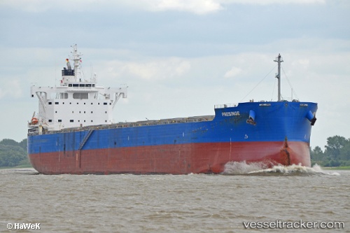
 PRESINGE
Current Status
Where is the vessel?
PRESINGE is currently in 51 nm SE of Pampa Melchorita, based on AIS data received about 1h ago.
Latest AIS update:
Current position: 13.96715° S, 77.25111° W (51 nm SE of Pampa Melchorita)
Average speed (last 7 days): Loading…
Average speed (last 30 days): Loading…
Vessel profile: PRESINGE is a Cargo with dimensions m x m.
This page combines live AIS, route history, probable destination signals, nearby traffic, and port activity for practical vessel monitoring.
The current position of vessel PRESINGE is -13.96715 lat / -77.25111 lng. Updated: 2026-04-04 07:26:40 UTCNearest reference points:
- Near Callao
- 125 nm SW of Supe Bay
Currently sailing under the flag of Marshall Islands ![]()
Details:
Live Vessel PRESINGE Analytics (details, animations, etc.)
Recent AIS points (UTC):
2026-04-04 02:18:40 UTC · -13.01024, -77.31415 · SOG 11.5 kn · COG 174°2026-04-04 04:00:49 UTC · -13.32814, -77.29151 · SOG 11.6 kn · COG 176°
2026-04-04 05:09:24 UTC · -13.54325, -77.27829 · SOG 11.2 kn · COG 176°
2026-04-04 07:26:40 UTC · -13.96715, -77.25111 · SOG 11.1 kn · COG 176°