 vesseltracker.com
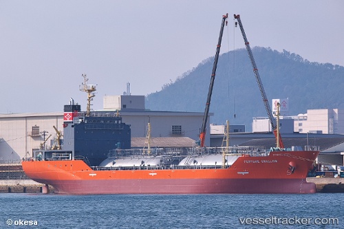
 FORTUNE SWALLOW
Current Status
Where is the vessel?
FORTUNE SWALLOW is currently in Near BUKOM ISLAND, based on AIS data received about 1h ago.
Latest AIS update:
Current position: 1.18901° N, 103.75214° E (Near BUKOM ISLAND)
Average speed (last 7 days): Loading…
Average speed (last 30 days): Loading…
Vessel profile: FORTUNE SWALLOW is a LPG Tanker with dimensions 99m x 16m.
This page combines live AIS, route history, probable destination signals, nearby traffic, and port activity for practical vessel monitoring.
The current position of vessel FORTUNE SWALLOW is 1.18901 lat / 103.75214 lng. Updated: 2026-04-13 13:38:44 UTCNearest reference points:
- Near BUKOM ISLAND
- Near JURONG ISLAND
- Near Pasir Panjang Wharves
Currently sailing under the flag of Liberia ![]()
FORTUNE SWALLOW built in 2015 year
Deadweight:
3874 tDetails:
Live Vessel FORTUNE SWALLOW Analytics (details, animations, etc.)
Recent AIS points (UTC):
2026-04-13 07:23:47 UTC · 1.18878, 103.75227 · SOG 0 kn · COG 90°2026-04-13 09:56:47 UTC · 1.18894, 103.75208 · SOG 0 kn · COG 96°
2026-04-13 11:50:45 UTC · 1.18941, 103.75229 · SOG 0 kn · COG 124°
2026-04-13 13:38:44 UTC · 1.18901, 103.75214 · SOG 0 kn · COG 97°