 vesseltracker.com
 FUJAIRAH ENERGY
Current Status
Where is the vessel?
FUJAIRAH ENERGY is currently in Near Yas Island, based on AIS data received about 15d ago.
Latest AIS update:
Current position: 24.46657° N, 52.53759° E (Near Yas Island)
Average speed (last 7 days): Loading…
Average speed (last 30 days): Loading…
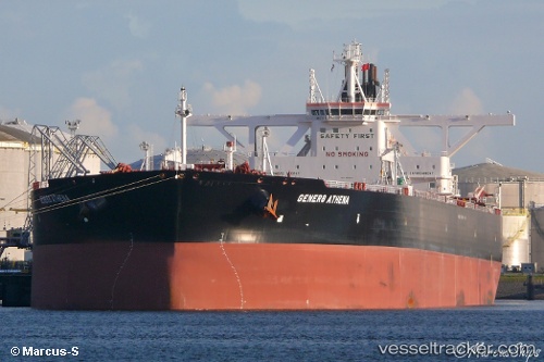
Vessel profile: FUJAIRAH ENERGY is a Tanker with dimensions m x m.
This page combines live AIS, route history, probable destination signals, nearby traffic, and port activity for practical vessel monitoring.
The current position of vessel FUJAIRAH ENERGY is 24.46657 lat / 52.53759 lng. Updated: 2026-03-14 17:30:41 UTCNearest reference points:
- Near Yas Island
- Near JABAL AZ ZANNAH
- Near Ar Ruways
Currently sailing under the flag of Liberia ![]()
Details:
Live Vessel FUJAIRAH ENERGY Analytics (details, animations, etc.)
Recent AIS points (UTC):
2026-03-14 17:30:41 UTC · 24.46657, 52.53759 · SOG 52.1 kn · COG 39°