 vesseltracker.com
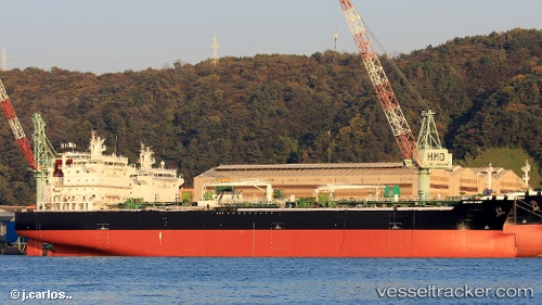
 FRANK LIGHT
Current Status
Where is the vessel?
FRANK LIGHT is currently in Near Paranagua, based on AIS data received about 3h ago.
Latest AIS update:
Current position: 25.50053° S, 48.53818° W (Near Paranagua)
Average speed (last 7 days): Loading…
Average speed (last 30 days): Loading…
Vessel profile: FRANK LIGHT is a Tanker with dimensions m x m.
This page combines live AIS, route history, probable destination signals, nearby traffic, and port activity for practical vessel monitoring.
The current position of vessel FRANK LIGHT is -25.50053 lat / -48.53818 lng. Updated: 2026-03-28 01:50:08 UTCNearest reference points:
- 24 nm E of Caioba
- 32 nm E of Caioba
- Near Itajai
Currently sailing under the flag of Marshall Islands ![]()
Details:
Live Vessel FRANK LIGHT Analytics (details, animations, etc.)
Recent AIS points (UTC):
2026-03-27 19:44:15 UTC · -25.50053, -48.53818 · SOG 0 kn · COG 105°2026-03-27 21:56:06 UTC · -25.50052, -48.53820 · SOG 0 kn · COG 106°
2026-03-28 00:18:01 UTC · -25.50052, -48.53818 · SOG 0 kn · COG 106°
2026-03-28 01:50:08 UTC · -25.50053, -48.53818 · SOG 0 kn · COG 105°