 vesseltracker.com
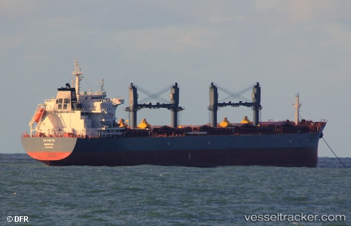
 ATALANTA
Current Status
Where is the vessel?
ATALANTA is currently in 11 nm S of Santa Marta, based on AIS data received about 1d ago.
Latest AIS update:
Current position: 11.07062° N, 74.23664° W (11 nm S of Santa Marta)
Average speed (last 7 days): Loading…
Average speed (last 30 days): Loading…
Vessel profile: ATALANTA is a Bulk Carrier with dimensions 32m x 200m.
This page combines live AIS, route history, probable destination signals, nearby traffic, and port activity for practical vessel monitoring.
The current position of vessel ATALANTA is 11.07062 lat / -74.23664 lng. Updated: 2026-04-10 07:44:01 UTCNearest reference points:
- Near Santa Marta
- 18 nm N of Santa Marta
- Near Contecar
Currently sailing under the flag of Portugal (MAR) ![]()
ATALANTA built in 2017 year
Deadweight:
63456 tDetails:
Live Vessel ATALANTA Analytics (details, animations, etc.)
Recent AIS points (UTC):
2026-04-10 02:20:25 UTC · 11.08894, -74.27973 · SOG 8 kn · COG 114°2026-04-10 04:17:00 UTC · 11.07062, -74.23664 · SOG 0 kn · COG 131°
2026-04-10 06:25:59 UTC · 11.07063, -74.23662 · SOG 0 kn · COG 131°
2026-04-10 07:44:01 UTC · 11.07062, -74.23664 · SOG 0 kn · COG 131°