 vesseltracker.com
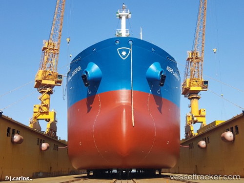
 MARLIN HERA
Current Status
Where is the vessel?
MARLIN HERA is currently in 78 nm S of Gulfmex Lightering Area, based on AIS data received about 3h ago.
Latest AIS update:
Current position: 26.49192° N, 90.44070° W (78 nm S of Gulfmex Lightering Area)
Average speed (last 7 days): Loading…
Average speed (last 30 days): Loading…
Vessel profile: MARLIN HERA is a Crude Oil Tanker with dimensions 31m x 227m.
This page combines live AIS, route history, probable destination signals, nearby traffic, and port activity for practical vessel monitoring.
The current position of vessel MARLIN HERA is 26.49192 lat / -90.44070 lng. Updated: 2026-04-08 15:55:22 UTCNearest reference points:
- 94 nm S of Gulfmex Lightering Area
- 124 nm SW of Gulfmex Lightering Area
- 66 nm NW of Gulfmex Lightering Area
Currently sailing under the flag of Marshall Islands ![]()
MARLIN HERA built in 2017 year
Deadweight:
74198 tDetails:
Live Vessel MARLIN HERA Analytics (details, animations, etc.)
Recent AIS points (UTC):
2026-04-08 08:57:18 UTC · 27.23669, -91.73731 · SOG 12.1 kn · COG -1°2026-04-08 14:00:11 UTC · 26.70487, -90.80648 · SOG 11.8 kn · COG -1°
2026-04-08 15:55:22 UTC · 26.49192, -90.44070 · SOG 12.1 kn · COG -1°
2026-04-08 15:55:22 UTC · 26.49192, -90.44070 · SOG 12.1 kn · COG -1°