 vesseltracker.com
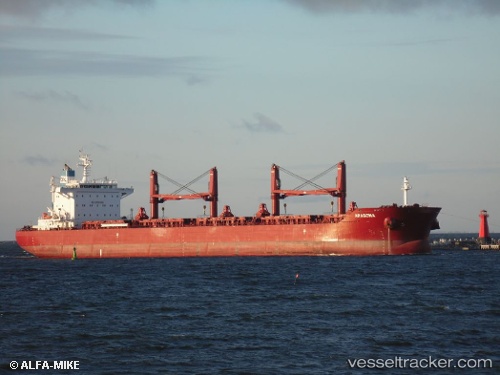
Aragona
Current StatusWhere is the vessel?
Aragona is currently in 53 nm S of Port Eads, based on AIS data received about 1h ago.
Latest AIS update:
Current position: 28.12976° N, 89.00281° W (53 nm S of Port Eads)
Average speed (last 7 days): Loading…
Average speed (last 30 days): Loading…
Vessel profile: Aragona is a Bulk Carrier with dimensions 32m x 200m.
This page combines live AIS, route history, probable destination signals, nearby traffic, and port activity for practical vessel monitoring.
The current position of vessel Aragona is 28.12976 lat / -89.00281 lng. Updated: 2026-03-31 14:30:49 UTCNearest reference points:
- Near Pilottown
- 13 nm NE of Pilottown
- Near Port Fourchon
Details:
Live Vessel Aragona Analytics (details, animations, etc.)
Recent AIS points (UTC):
2026-03-31 10:20:31 UTC · 28.91223, -89.42507 · SOG 10.9 kn · COG 227°2026-03-31 11:35:30 UTC · 28.69810, -89.35291 · SOG 12.2 kn · COG 150°
2026-03-31 14:11:34 UTC · 28.19752, -89.04208 · SOG 13.8 kn · COG -1°
2026-03-31 14:30:49 UTC · 28.12976, -89.00281 · SOG 14 kn · COG 158°