 vesseltracker.com
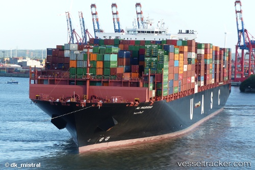
 AL MASHRAB
Current Status
Where is the vessel?
AL MASHRAB is currently in Near Unije, based on AIS data received about 3h ago.
Latest AIS update:
Current position: 44.77484° N, 14.11415° E (Near Unije)
Average speed (last 7 days): Loading…
Average speed (last 30 days): Loading…
Vessel profile: AL MASHRAB is a Cargo A with dimensions m x m.
This page combines live AIS, route history, probable destination signals, nearby traffic, and port activity for practical vessel monitoring.
The current position of vessel AL MASHRAB is 44.77484 lat / 14.11415 lng. Updated: 2026-04-10 07:26:18 UTCNearest reference points:
- Near Pula
- Near MALI LOSINJ
- Near VALBISKA
Currently sailing under the flag of Liberia ![]()
Details:
Live Vessel AL MASHRAB Analytics (details, animations, etc.)
Recent AIS points (UTC):
2026-04-10 02:26:17 UTC · 45.05241, 13.16191 · SOG 12.1 kn · COG 150°2026-04-10 03:50:48 UTC · 44.80967, 13.38058 · SOG 12.1 kn · COG 145°
2026-04-10 05:58:47 UTC · 44.60075, 13.78481 · SOG 13 kn · COG 60°
2026-04-10 07:26:18 UTC · 44.77484, 14.11415 · SOG 11.9 kn · COG 18°