 vesseltracker.com
 DENIZ
DENIZ
Current Status
Where is the vessel?
DENIZ is currently in 178 nm E of Manakara, based on AIS data received about 2h ago.
Latest AIS update:
Current position: 22.88555° S, 51.14229° E (178 nm E of Manakara)
Average speed (last 7 days): Loading…
Average speed (last 30 days): Loading…
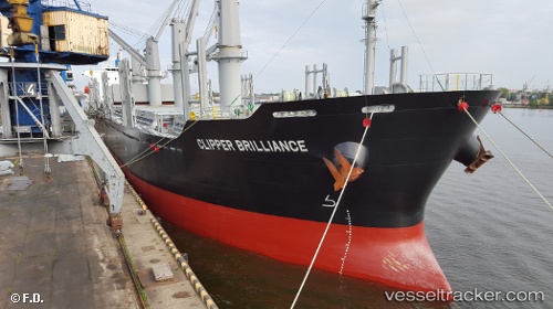
Vessel profile: DENIZ is a Cargo with dimensions m x m.
This page combines live AIS, route history, probable destination signals, nearby traffic, and port activity for practical vessel monitoring.
The current position of vessel DENIZ is -22.88555 lat / 51.14229 lng. Updated: 2026-04-08 03:51:42 UTCNearest reference points:
- 194 nm E of Manakara
- 209 nm E of Manakara
Currently sailing under the flag of Marshall Islands ![]()
Details:
Live Vessel DENIZ Analytics (details, animations, etc.)
Recent AIS points (UTC):
2026-04-07 22:23:12 UTC · -23.44564, 50.13973 · SOG 11.7 kn · COG 61°2026-04-07 23:53:31 UTC · -23.29198, 50.41649 · SOG 12 kn · COG 65°
2026-04-08 01:41:22 UTC · -23.10712, 50.74598 · SOG 11.8 kn · COG 58°
2026-04-08 03:51:42 UTC · -22.88555, 51.14229 · SOG 11.8 kn · COG 62°