 vesseltracker.com
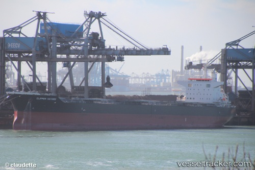
 SANTA IRINI
Current Status
Where is the vessel?
SANTA IRINI is currently in 17 nm SW of Bozcaada, based on AIS data received about 16h ago.
Latest AIS update:
Current position: 39.67950° N, 25.74700° E (17 nm SW of Bozcaada)
Average speed (last 7 days): Loading…
Average speed (last 30 days): Loading…
Vessel profile: SANTA IRINI is a Bulk Carrier with dimensions 32m x 224m.
This page combines live AIS, route history, probable destination signals, nearby traffic, and port activity for practical vessel monitoring.
The current position of vessel SANTA IRINI is 39.6795 lat / 25.747 lng. Updated: 2026-04-10 07:41:32 UTCNearest reference points:
- 14 nm SW of Bozcaada
- 14 nm NW of Baba Point
- Near Baba Point
Currently sailing under the flag of Malta ![]()
SANTA IRINI built in 2015 year
Deadweight:
77119 tDetails:
Live Vessel SANTA IRINI Analytics (details, animations, etc.)
Recent AIS points (UTC):
2026-04-10 02:13:51 UTC · 40.32340, 26.60870 · SOG 11.8 kn · COG 228°2026-04-10 04:04:41 UTC · 40.07030, 26.28780 · SOG 12 kn · COG 235°
2026-04-10 05:34:21 UTC · 40.01270, 25.96750 · SOG 11.4 kn · COG 234°
2026-04-10 07:41:32 UTC · 39.67950, 25.74700 · SOG 11.1 kn · COG 190°