 vesseltracker.com
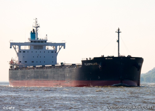
 PLAINPALAIS
Current Status
Where is the vessel?
PLAINPALAIS is currently in Near MEJILLONES, based on AIS data received less than 1h ago.
Latest AIS update:
Current position: 23.05924° S, 70.37918° W (Near MEJILLONES)
Average speed (last 7 days): Loading…
Average speed (last 30 days): Loading…
Vessel profile: PLAINPALAIS is a Cargo with dimensions m x m.
This page combines live AIS, route history, probable destination signals, nearby traffic, and port activity for practical vessel monitoring.
The current position of vessel PLAINPALAIS is -23.05924 lat / -70.37918 lng. Updated: 2026-04-22 19:07:35 UTCNearest reference points:
- 17 nm W of Puerto Angamos
Currently sailing under the flag of Marshall Islands ![]()
Details:
Live Vessel PLAINPALAIS Analytics (details, animations, etc.)
Recent AIS points (UTC):
2026-04-22 15:56:32 UTC · -23.05925, -70.37917 · SOG 0 kn · COG -1°2026-04-22 16:46:32 UTC · -23.05923, -70.37917 · SOG 0 kn · COG 317°
2026-04-22 18:13:31 UTC · -23.05924, -70.37915 · SOG 0 kn · COG 317°
2026-04-22 19:07:35 UTC · -23.05924, -70.37918 · SOG 0 kn · COG 316°