 vesseltracker.com
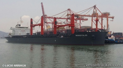
 NORDTAJO
Current Status
Where is the vessel?
NORDTAJO is currently in 286 nm NE of Cockburn Town, based on AIS data received about 1h ago.
Latest AIS update:
Current position: 28.00333° N, 71.59667° W (286 nm NE of Cockburn Town)
Average speed (last 7 days): Loading…
Average speed (last 30 days): Loading…
Vessel profile: NORDTAJO is a Bulk Carrier with dimensions 180m x 32m.
This page combines live AIS, route history, probable destination signals, nearby traffic, and port activity for practical vessel monitoring.
The current position of vessel NORDTAJO is 28.00333 lat / -71.59667 lng. Updated: 2026-03-28 01:54:02 UTCCurrently sailing under the flag of Portugal (MAR) ![]()
NORDTAJO built in 2017 year
Deadweight:
38548 tDetails:
Live Vessel NORDTAJO Analytics (details, animations, etc.)
Recent AIS points (UTC):
2026-03-27 20:18:02 UTC · 26.83167, -71.10833 · SOG 13 kn · COG -1°2026-03-27 21:15:04 UTC · 27.02833, -71.18333 · SOG 12 kn · COG -1°
2026-03-27 23:27:03 UTC · 27.48167, -71.37500 · SOG 13 kn · COG -1°
2026-03-28 01:54:02 UTC · 28.00333, -71.59667 · SOG 13 kn · COG -1°