 vesseltracker.com
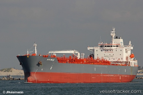
 ANTALYA
Current Status
Where is the vessel?
ANTALYA is currently in 14 nm NW of Sociedad Portuaria Regional Cartagena, based on AIS data received less than 1h ago.
Latest AIS update:
Current position: 10.58224° N, 75.67032° W (14 nm NW of Sociedad Portuaria Regional Cartagena)
Average speed (last 7 days): Loading…
Average speed (last 30 days): Loading…
Vessel profile: ANTALYA is a Tanker with dimensions m x m.
This page combines live AIS, route history, probable destination signals, nearby traffic, and port activity for practical vessel monitoring.
The current position of vessel ANTALYA is 10.58224 lat / -75.67032 lng. Updated: 2026-04-07 09:30:55 UTCNearest reference points:
- Near Sociedad Portuaria Regional Cartagena
- Near Contecar
- Near Santa Marta
Currently sailing under the flag of Marshall Islands ![]()
Details:
Live Vessel ANTALYA Analytics (details, animations, etc.)
Recent AIS points (UTC):
2026-04-07 03:23:24 UTC · 11.28951, -74.73462 · SOG 11.6 kn · COG 286°2026-04-07 06:22:04 UTC · 11.05485, -75.28564 · SOG 12.3 kn · COG 235°
2026-04-07 07:48:16 UTC · 10.88352, -75.52638 · SOG 11.9 kn · COG 230°
2026-04-07 09:30:55 UTC · 10.58224, -75.67032 · SOG 12.3 kn · COG 199°