 vesseltracker.com
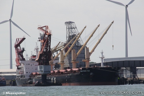
 FLAT
FLAT
Current Status
Where is the vessel?
FLAT is currently in Near BAIA DE VITORIA, based on AIS data received about 1d ago.
Latest AIS update:
Current position: 20.38763° S, 40.24905° W (Near BAIA DE VITORIA)
Average speed (last 7 days): Loading…
Average speed (last 30 days): Loading…
Vessel profile: FLAT is a Cargo with dimensions m x m.
This page combines live AIS, route history, probable destination signals, nearby traffic, and port activity for practical vessel monitoring.
The current position of vessel FLAT is -20.38763 lat / -40.24905 lng. Updated: 2026-04-10 07:47:04 UTCNearest reference points:
- Near Tubarão Pt./Vitória
- Near JARDIM CAMBURI
- Near BAIA DE VITORIA
Currently sailing under the flag of Barbados ![]()
Details:
Live Vessel FLAT Analytics (details, animations, etc.)
Recent AIS points (UTC):
2026-04-10 02:04:55 UTC · -20.39961, -40.21813 · SOG 5.8 kn · COG 289°2026-04-10 03:26:05 UTC · -20.38729, -40.24872 · SOG 0.3 kn · COG 79°
2026-04-10 06:11:05 UTC · -20.38825, -40.24831 · SOG 0.1 kn · COG 21°
2026-04-10 07:47:04 UTC · -20.38763, -40.24905 · SOG 0.2 kn · COG 81°