 vesseltracker.com
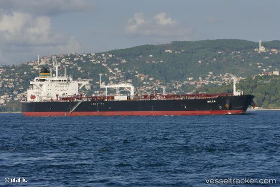
 BALLA
BALLA
Current Status
Where is the vessel?
BALLA is currently in 102 nm NW of Bnei Darom, based on AIS data received less than 1h ago.
Latest AIS update:
Current position: 33.10901° N, 30.37094° E (102 nm NW of Bnei Darom)
Average speed (last 7 days): Loading…
Average speed (last 30 days): Loading…
Vessel profile: BALLA is a Crude Oil Tanker with dimensions 250m x 44m.
This page combines live AIS, route history, probable destination signals, nearby traffic, and port activity for practical vessel monitoring.
The current position of vessel BALLA is 33.10901 lat / 30.37094 lng. Updated: 2026-04-08 05:47:58 UTCNearest reference points:
- 129 nm NW of ABU QIR
- 68 nm SW of Paphos
- 108 nm S of Kastellorizou (ex Megísti)
Currently sailing under the flag of Liberia ![]()
BALLA built in 2017 year
Deadweight:
113293 tDetails:
Live Vessel BALLA Analytics (details, animations, etc.)
Recent AIS points (UTC):
2026-04-07 21:38:39 UTC · 34.33117, 29.08532 · SOG 11.8 kn · COG -1°2026-04-07 23:33:11 UTC · 34.04748, 29.38571 · SOG 11.5 kn · COG 140°
2026-04-08 03:03:51 UTC · 33.52141, 29.94319 · SOG 12.3 kn · COG 140°
2026-04-08 05:47:58 UTC · 33.10901, 30.37094 · SOG 12.1 kn · COG 141°