 vesseltracker.com
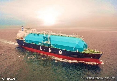
 Seri Cemara
Current Status
Where is the vessel?
Seri Cemara is currently in 11 nm W of BINTULU, based on AIS data received about 3h ago.
Latest AIS update:
Current position: 3.23775° N, 112.85545° E (11 nm W of BINTULU)
Average speed (last 7 days): Loading…
Average speed (last 30 days): Loading…
Vessel profile: Seri Cemara is a Lng Tanker with dimensions 290m x 49m.
This page combines live AIS, route history, probable destination signals, nearby traffic, and port activity for practical vessel monitoring.
The current position of vessel Seri Cemara is 3.23775 lat / 112.85545 lng. Updated: 2026-04-01 19:10:48 UTCNearest reference points:
- Near BINTULU
- 28 nm SW of BINTULU
- 19 nm E of BINTULU
Currently sailing under the flag of Malaysia ![]()
Details:
Live Vessel Seri Cemara Analytics (details, animations, etc.)
Recent AIS points (UTC):
2026-04-01 13:43:01 UTC · 3.23760, 112.85603 · SOG 0 kn · COG -1°2026-04-01 15:43:56 UTC · 3.23772, 112.85556 · SOG 0 kn · COG -1°
2026-04-01 17:39:47 UTC · 3.23779, 112.85544 · SOG 0 kn · COG -1°
2026-04-01 19:10:48 UTC · 3.23775, 112.85545 · SOG 0 kn · COG -1°