 vesseltracker.com
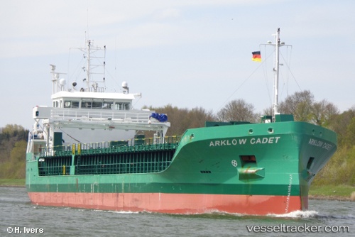
 VERMLAND
Current Status
Where is the vessel?
VERMLAND is currently in 49 nm NW of Northmavine, based on AIS data received less than 1h ago.
Latest AIS update:
Current position: 61.27126° N, 2.40853° W (49 nm NW of Northmavine)
Average speed (last 7 days): Loading…
Average speed (last 30 days): Loading…
Vessel profile: VERMLAND is a Cargo with dimensions m x m.
This page combines live AIS, route history, probable destination signals, nearby traffic, and port activity for practical vessel monitoring.
The current position of vessel VERMLAND is 61.27126 lat / -2.40853 lng. Updated: 2026-03-31 07:27:52 UTCNearest reference points:
- 32 nm NW of Eshaness
- 36 nm NW of Ham Voe, Foula
- Near Tingwall
Details:
Live Vessel VERMLAND Analytics (details, animations, etc.)
Recent AIS points (UTC):
2026-03-31 02:17:32 UTC · 61.01582, -1.16203 · SOG 7.9 kn · COG 295°2026-03-31 03:21:56 UTC · 61.07338, -1.41189 · SOG 8.1 kn · COG 287°
2026-03-31 06:01:52 UTC · 61.19475, -2.05415 · SOG 7.6 kn · COG 286°
2026-03-31 07:27:52 UTC · 61.27126, -2.40853 · SOG 7.3 kn · COG 285°