 vesseltracker.com
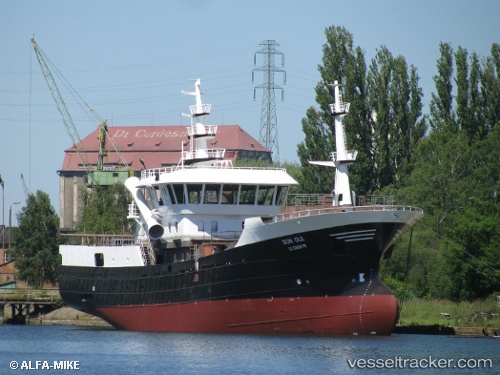
Don Ole
Current StatusWhere is the vessel?
Don Ole is currently in 21 nm W of Huaral, based on AIS data received about 1d ago.
Latest AIS update:
Current position: 11.51423° S, 77.55535° W (21 nm W of Huaral)
Average speed (last 7 days): Loading…
Average speed (last 30 days): Loading…
Vessel profile: Don Ole is a Fishing Vessel with dimensions 13m x 61m.
This page combines live AIS, route history, probable destination signals, nearby traffic, and port activity for practical vessel monitoring.
The current position of vessel Don Ole is -11.51423 lat / -77.55535 lng. Updated: 2026-04-10 07:45:56 UTCNearest reference points:
- Near Callao
- 43 nm SW of Barranca
- 125 nm SW of Supe Bay
Details:
Live Vessel Don Ole Analytics (details, animations, etc.)
Recent AIS points (UTC):
2026-04-10 02:21:45 UTC · -11.56358, -77.29780 · SOG 0.1 kn · COG 251°2026-04-10 04:16:14 UTC · -11.58103, -77.27697 · SOG 0 kn · COG 93°
2026-04-10 06:25:55 UTC · -11.57758, -77.28853 · SOG 7.6 kn · COG 283°
2026-04-10 07:45:56 UTC · -11.51423, -77.55535 · SOG 13 kn · COG 298°