 vesseltracker.com
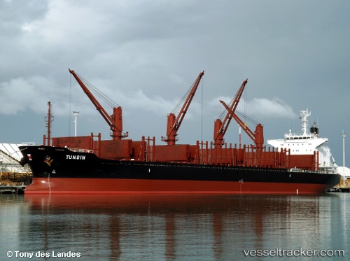
 TUNSIN
Current Status
Where is the vessel?
TUNSIN is currently in 297 nm NW of Whangaroa, based on AIS data received less than 1h ago.
Latest AIS update:
Current position: 30.66398° S, 171.00410° E (297 nm NW of Whangaroa)
Average speed (last 7 days): Loading…
Average speed (last 30 days): Loading…
Vessel profile: TUNSIN is a Cargo with dimensions m x m.
This page combines live AIS, route history, probable destination signals, nearby traffic, and port activity for practical vessel monitoring.
The current position of vessel TUNSIN is -30.66398 lat / 171.00410 lng. Updated: 2026-04-16 15:42:39 UTCNearest reference points:
- 170 nm NW of Whangaroa
Currently sailing under the flag of Singapore ![]()
Details:
Live Vessel TUNSIN Analytics (details, animations, etc.)
Recent AIS points (UTC):
2026-04-16 09:44:59 UTC · -31.61778, 171.76698 · SOG 11.7 kn · COG 325°2026-04-16 12:14:38 UTC · -31.21650, 171.44958 · SOG 11.4 kn · COG 322°
2026-04-16 14:13:27 UTC · -30.90175, 171.19673 · SOG 11.4 kn · COG 325°
2026-04-16 15:42:39 UTC · -30.66398, 171.00410 · SOG 12 kn · COG 328°