 vesseltracker.com
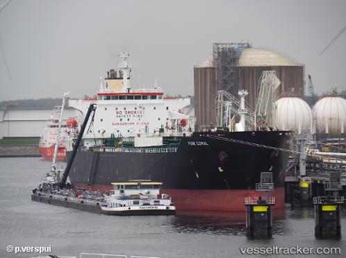
 TIGANI
Current Status
Where is the vessel?
TIGANI is currently in Near Burgas, based on AIS data received about 4h ago.
Latest AIS update:
Current position: 42.49151° N, 27.57945° E (Near Burgas)
Average speed (last 7 days): Loading…
Average speed (last 30 days): Loading…
Vessel profile: TIGANI is a Tanker with dimensions m x m.
This page combines live AIS, route history, probable destination signals, nearby traffic, and port activity for practical vessel monitoring.
The current position of vessel TIGANI is 42.49151 lat / 27.57945 lng. Updated: 2026-04-10 07:42:54 UTCNearest reference points:
- Near Beloslav
- Near Ignatievo
- Near Varna
Currently sailing under the flag of Malta ![]()
Details:
Live Vessel TIGANI Analytics (details, animations, etc.)
Recent AIS points (UTC):
2026-04-10 02:12:52 UTC · 42.49011, 27.57551 · SOG 0 kn · COG 30°2026-04-10 04:03:53 UTC · 42.48980, 27.57744 · SOG 0 kn · COG 346°
2026-04-10 05:33:53 UTC · 42.49009, 27.57632 · SOG 0.1 kn · COG 8°
2026-04-10 07:42:54 UTC · 42.49151, 27.57945 · SOG 0 kn · COG 277°