 vesseltracker.com
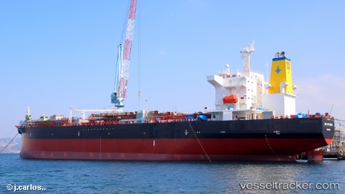
 High Explorer
Current Status
Where is the vessel?
High Explorer is currently in Near Barbers Point, based on AIS data received about 1h ago.
Latest AIS update:
Current position: 21.24564° N, 158.16595° W (Near Barbers Point)
Average speed (last 7 days): Loading…
Average speed (last 30 days): Loading…
Vessel profile: High Explorer is a Chemical Oil Products Tanker with dimensions 182m x 182m.
This page combines live AIS, route history, probable destination signals, nearby traffic, and port activity for practical vessel monitoring.
The current position of vessel High Explorer is 21.24564 lat / -158.16595 lng. Updated: 2026-03-30 07:37:45 UTCNearest reference points:
- Near Honolulu
- Near Kaunakakai
- 132 nm SW of Barbers Point
Currently sailing under the flag of Luxembourg ![]()
High Explorer built in 0 year
Deadweight:
0 tDetails:
Live Vessel High Explorer Analytics (details, animations, etc.)
Recent AIS points (UTC):
2026-03-30 01:59:38 UTC · 21.31414, -157.88475 · SOG 0 kn · COG 280°2026-03-30 04:20:45 UTC · 21.27320, -157.87704 · SOG 9.2 kn · COG 192°
2026-03-30 05:34:26 UTC · 21.21301, -158.07806 · SOG 11.3 kn · COG 290°
2026-03-30 07:37:45 UTC · 21.24564, -158.16595 · SOG 0.3 kn · COG 91°