 vesseltracker.com
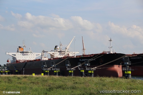
Find the position of the vessel Elandra Eagle on the map. The latter are known coordinates and path.
marine traffic ship tracker show on live map
The current position of vessel Elandra Eagle is 45.6212 lat / -51.716 lng. Updated: 2024-05-01 23:44:14 UTCPort of registry:
Majuro (coral atoll, capital of the Marshall Islands)Payload_mass:
157554 tonneGross tonnage:
81686Service entry:
2017-01-01T00:00:00ZManufacturer:
Sungdong Shipbuilding & Marine Engineering (South Korean shipbuilding company)Details:
Last coordinates of the vessel:
UTC, 45.3667, -52.4368, course: 63, speed: 9.5UTC, 45.3667, -52.4368, course: 63, speed: 9.5
UTC, 45.5431, -51.9387, course: 64, speed: 9.5
2024-05-01 23:44:14 UTC, 45.6212, -51.716, course: 63, speed: 9.8
The ship also appears on the maps: