 vesseltracker.com
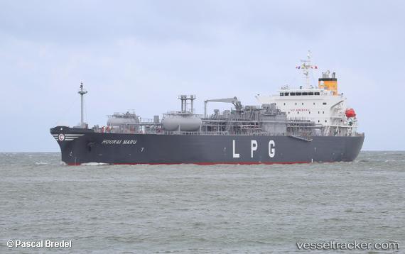
Hourai Maru
Current StatusWhere is the vessel?
Hourai Maru is currently in 23 nm S of Dale Roads, based on AIS data received less than 1h ago.
Latest AIS update:
Current position: 51.33867° N, 5.33076° W (23 nm S of Dale Roads)
Average speed (last 7 days): Loading…
Average speed (last 30 days): Loading…
Vessel profile: Hourai Maru is a Lpg Tanker with dimensions 30m x 183m.
This page combines live AIS, route history, probable destination signals, nearby traffic, and port activity for practical vessel monitoring.
The current position of vessel Hourai Maru is 51.33867 lat / -5.33076 lng. Updated: 2026-03-29 05:54:54 UTCNearest reference points:
- 10 nm NW of Grampound
- Near Falmouth
- Near Flushing
Details:
Live Vessel Hourai Maru Analytics (details, animations, etc.)
Recent AIS points (UTC):
2026-03-29 00:07:19 UTC · 51.69837, -5.02976 · SOG 0 kn · COG 89°2026-03-29 01:10:15 UTC · 51.69837, -5.02978 · SOG 0 kn · COG 88°
2026-03-29 03:27:36 UTC · 51.70026, -5.02920 · SOG 0.8 kn · COG 265°
2026-03-29 05:54:54 UTC · 51.33867, -5.33076 · SOG 12.7 kn · COG 191°