 vesseltracker.com
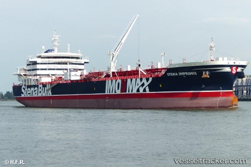
 TORM FREEDOM
Current Status
Where is the vessel?
TORM FREEDOM is currently in 40 nm N of Cockburn Harbour, based on AIS data received about 1h ago.
Latest AIS update:
Current position: 22.14833° N, 71.46500° W (40 nm N of Cockburn Harbour)
Average speed (last 7 days): Loading…
Average speed (last 30 days): Loading…
Vessel profile: TORM FREEDOM is a Tanker with dimensions m x m.
This page combines live AIS, route history, probable destination signals, nearby traffic, and port activity for practical vessel monitoring.
The current position of vessel TORM FREEDOM is 22.14833 lat / -71.46500 lng. Updated: 2026-03-29 23:30:55 UTCNearest reference points:
- 38 nm SW of Cockburn Harbour
- 47 nm SW of Cockburn Harbour
- 56 nm SW of Cockburn Harbour
Currently sailing under the flag of Denmark ![]()
Details:
Live Vessel TORM FREEDOM Analytics (details, animations, etc.)
Recent AIS points (UTC):
2026-03-29 17:30:54 UTC · 22.02667, -69.94667 · SOG 13 kn · COG -1°2026-03-29 19:33:53 UTC · 22.06167, -70.46167 · SOG 14 kn · COG -1°
2026-03-29 21:57:53 UTC · 22.10833, -71.07000 · SOG 14 kn · COG -1°
2026-03-29 23:30:55 UTC · 22.14833, -71.46500 · SOG 13 kn · COG -1°