 vesseltracker.com
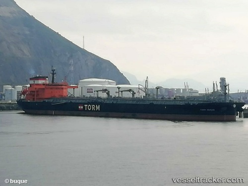
 TORM HERDIS
Current Status
Where is the vessel?
TORM HERDIS is currently in 364 nm S of Totegegie, based on AIS data received about 1h ago.
Latest AIS update:
Current position: 28.91467° S, 133.03954° W (364 nm S of Totegegie)
Average speed (last 7 days): Loading…
Average speed (last 30 days): Loading…
Vessel profile: TORM HERDIS is a Crude Oil Tanker with dimensions 250m x 44m.
This page combines live AIS, route history, probable destination signals, nearby traffic, and port activity for practical vessel monitoring.
The current position of vessel TORM HERDIS is -28.91467 lat / -133.03954 lng. Updated: 2026-04-03 05:27:08 UTCNearest reference points:
- Open sea, approx. 424 nm off the nearest listed port
- Open sea, approx. 407 nm off the nearest listed port
- Open sea (no nearby ports in database)
Currently sailing under the flag of Denmark (DIS) ![]()
TORM HERDIS built in 2018 year
Deadweight:
115109 tDetails:
Live Vessel TORM HERDIS Analytics (details, animations, etc.)
Recent AIS points (UTC):
2026-04-03 00:10:30 UTC · -29.35789, -134.35118 · SOG 14.3 kn · COG 67°2026-04-03 02:03:46 UTC · -29.20431, -133.87614 · SOG 14.1 kn · COG 67°
2026-04-03 04:08:17 UTC · -29.02480, -133.35921 · SOG 13.8 kn · COG 67°
2026-04-03 05:27:08 UTC · -28.91467, -133.03954 · SOG 13.9 kn · COG 67°