 vesseltracker.com
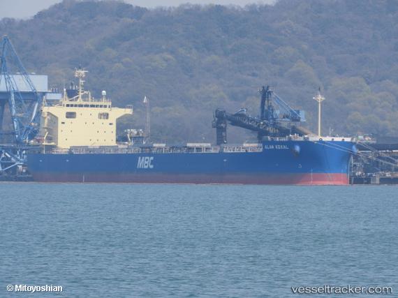
 TRITON CENTURY
Current Status
Where is the vessel?
TRITON CENTURY is currently in 156 nm E of Rodanthe, based on AIS data received less than 1h ago.
Latest AIS update:
Current position: 36.53563° N, 72.47088° W (156 nm E of Rodanthe)
Average speed (last 7 days): Loading…
Average speed (last 30 days): Loading…
Vessel profile: TRITON CENTURY is a Cargo with dimensions m x m.
This page combines live AIS, route history, probable destination signals, nearby traffic, and port activity for practical vessel monitoring.
The current position of vessel TRITON CENTURY is 36.53563 lat / -72.47088 lng. Updated: 2026-03-29 15:31:48 UTCNearest reference points:
- 91 nm E of Rodanthe
- 48 nm E of Nags Head
- 57 nm E of Fenwick Island
Currently sailing under the flag of Panama ![]()
Details:
Live Vessel TRITON CENTURY Analytics (details, animations, etc.)
Recent AIS points (UTC):
2026-03-29 09:57:58 UTC · 36.48709, -73.86962 · SOG 11.4 kn · COG 88°2026-03-29 11:23:29 UTC · 36.50411, -73.53374 · SOG 11.5 kn · COG 82°
2026-03-29 13:14:25 UTC · 36.53273, -73.04705 · SOG 12.3 kn · COG 105°
2026-03-29 15:31:48 UTC · 36.53563, -72.47088 · SOG 11.9 kn · COG 89°