 vesseltracker.com
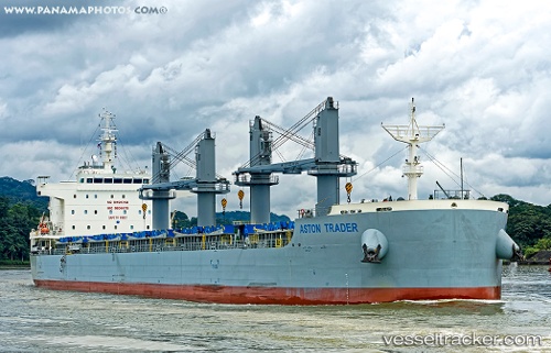
 AEGEAN BAY
Current Status
Where is the vessel?
AEGEAN BAY is currently in 20 nm NW of DARLOWO, based on AIS data received about 4h ago.
Latest AIS update:
Current position: 54.74213° N, 16.11669° E (20 nm NW of DARLOWO)
Average speed (last 7 days): Loading…
Average speed (last 30 days): Loading…
Vessel profile: AEGEAN BAY is a Cargo with dimensions m x m.
This page combines live AIS, route history, probable destination signals, nearby traffic, and port activity for practical vessel monitoring.
The current position of vessel AEGEAN BAY is 54.74213 lat / 16.11669 lng. Updated: 2026-04-10 07:16:34 UTCNearest reference points:
- 31 nm NW of Ustka
- Near KOLOBRZEG
- Near TEJN
Currently sailing under the flag of Marshall Islands ![]()
Details:
Live Vessel AEGEAN BAY Analytics (details, animations, etc.)
Recent AIS points (UTC):
2026-04-10 02:15:12 UTC · 54.59820, 14.48337 · SOG 11 kn · COG 86°2026-04-10 03:46:13 UTC · 54.63697, 14.97330 · SOG 11.6 kn · COG 90°
2026-04-10 05:47:53 UTC · 54.69047, 15.63432 · SOG 11.4 kn · COG 83°
2026-04-10 07:16:34 UTC · 54.74213, 16.11669 · SOG 11.8 kn · COG 80°