 vesseltracker.com
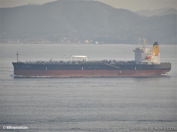
 HIGH NAVIGATOR
Current Status
Where is the vessel?
HIGH NAVIGATOR is currently in 23 nm SE of Villajoyosa, based on AIS data received about 1h ago.
Latest AIS update:
Current position: 38.15719° N, 0.00229° E (23 nm SE of Villajoyosa)
Average speed (last 7 days): Loading…
Average speed (last 30 days): Loading…
Vessel profile: HIGH NAVIGATOR is a Tanker with dimensions m x m.
This page combines live AIS, route history, probable destination signals, nearby traffic, and port activity for practical vessel monitoring.
The current position of vessel HIGH NAVIGATOR is 38.15719 lat / 0.00229 lng. Updated: 2026-04-08 03:59:22 UTCNearest reference points:
- Near Villajoyosa
- Near Campello
- Near El Altet
Currently sailing under the flag of Liberia ![]()
Details:
Live Vessel HIGH NAVIGATOR Analytics (details, animations, etc.)
Recent AIS points (UTC):
2026-04-07 21:24:42 UTC · 37.15841, -1.06975 · SOG 12.5 kn · COG 51°2026-04-08 00:21:14 UTC · 37.55154, -0.50878 · SOG 11.5 kn · COG 32°
2026-04-08 01:55:43 UTC · 37.81340, -0.28897 · SOG 11.8 kn · COG 36°
2026-04-08 03:59:22 UTC · 38.15719, 0.00229 · SOG 12 kn · COG 33°