 vesseltracker.com
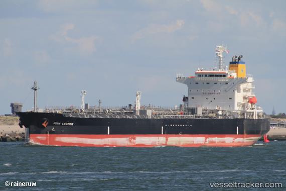
 HIGH LEADER
Current Status
Where is the vessel?
HIGH LEADER is currently in 50 nm N of VARADERO, based on AIS data received about 2h ago.
Latest AIS update:
Current position: 23.92833° N, 80.89167° W (50 nm N of VARADERO)
Average speed (last 7 days): Loading…
Average speed (last 30 days): Loading…
Vessel profile: HIGH LEADER is a Tanker with dimensions m x m.
This page combines live AIS, route history, probable destination signals, nearby traffic, and port activity for practical vessel monitoring.
The current position of vessel HIGH LEADER is 23.92833 lat / -80.89167 lng. Updated: 2026-04-09 21:15:32 UTCNearest reference points:
- 28 nm NE of VARADERO
- Near Summerland Key
- Near Key West
Currently sailing under the flag of Liberia ![]()
Details:
Live Vessel HIGH LEADER Analytics (details, animations, etc.)
Recent AIS points (UTC):
2026-04-09 16:22:14 UTC · 24.41550, -80.03684 · SOG 13.3 kn · COG 238°2026-04-09 18:00:32 UTC · 24.24833, -80.34333 · SOG 11 kn · COG -1°
2026-04-09 19:39:32 UTC · 24.08167, -80.62667 · SOG 11 kn · COG -1°
2026-04-09 21:15:32 UTC · 23.92833, -80.89167 · SOG 10 kn · COG -1°