 vesseltracker.com
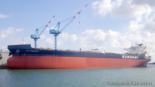
Cap Pembroke
Current StatusWhere is the vessel?
Cap Pembroke is currently in 257 nm NE of Ben Slimane, based on AIS data received about 2h ago.
Latest AIS update:
Current position: 36.60228° N, 67.44184° W (257 nm NE of Ben Slimane)
Average speed (last 7 days): Loading…
Average speed (last 30 days): Loading…
Vessel profile: Cap Pembroke is a Crude Oil Tanker with dimensions 48m x 277m.
This page combines live AIS, route history, probable destination signals, nearby traffic, and port activity for practical vessel monitoring.
The current position of vessel Cap Pembroke is 36.60228 lat / -67.44184 lng. Updated: 2026-03-28 03:46:53 UTCNearest reference points:
- 273 nm SE of NANTUCKET
- 169 nm NE of Ben Slimane
Details:
Live Vessel Cap Pembroke Analytics (details, animations, etc.)
Recent AIS points (UTC):
2026-03-27 22:04:41 UTC · 35.92833, -68.20500 · SOG 10 kn · COG -1°2026-03-27 23:22:40 UTC · 36.10333, -68.01833 · SOG 10 kn · COG -1°
2026-03-28 02:10:41 UTC · 36.42333, -67.65500 · SOG 8 kn · COG -1°
2026-03-28 03:46:53 UTC · 36.60228, -67.44184 · SOG 9.8 kn · COG 48°