 vesseltracker.com
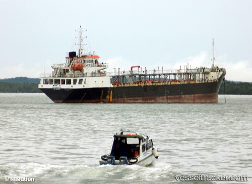
 SS NAVIGATOR
Current Status
Where is the vessel?
SS NAVIGATOR is currently in Near AL SUWAIQ, based on AIS data received about 20h ago.
Latest AIS update:
Current position: 23.89741° N, 57.58740° E (Near AL SUWAIQ)
Average speed (last 7 days): Loading…
Average speed (last 30 days): Loading…
Vessel profile: SS NAVIGATOR is a Tanker with dimensions m x m.
This page combines live AIS, route history, probable destination signals, nearby traffic, and port activity for practical vessel monitoring.
The current position of vessel SS NAVIGATOR is 23.89741 lat / 57.58740 lng. Updated: 2026-03-29 03:11:31 UTCNearest reference points:
- 58 nm S of JASK
- 42 nm SE of Offshore Fujairah
- 18 nm SE of SHINAS
Currently sailing under the flag of Tuvalu ![]()
Details:
Live Vessel SS NAVIGATOR Analytics (details, animations, etc.)
Recent AIS points (UTC):
2026-03-29 00:55:18 UTC · 23.84935, 57.62448 · SOG 3.4 kn · COG -1°2026-03-29 03:11:31 UTC · 23.89741, 57.58740 · SOG 3.7 kn · COG -1°
2026-03-29 03:11:31 UTC · 23.89741, 57.58740 · SOG 3.7 kn · COG -1°
2026-03-29 03:11:31 UTC · 23.89741, 57.58740 · SOG 3.7 kn · COG -1°