 vesseltracker.com
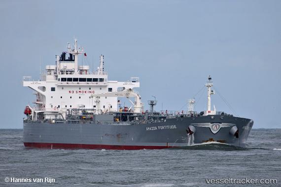
 AMAZON FORTITUDE
Current Status
Where is the vessel?
AMAZON FORTITUDE is currently in 181 nm SE of Port Raysut, based on AIS data received about 2h ago.
Latest AIS update:
Current position: 14.86427° N, 56.30080° E (181 nm SE of Port Raysut)
Average speed (last 7 days): Loading…
Average speed (last 30 days): Loading…
Vessel profile: AMAZON FORTITUDE is a Crude Oil Tanker with dimensions 228m x 40m.
This page combines live AIS, route history, probable destination signals, nearby traffic, and port activity for practical vessel monitoring.
The current position of vessel AMAZON FORTITUDE is 14.86427 lat / 56.30080 lng. Updated: 2026-03-27 13:29:47 UTCNearest reference points:
- 103 nm S of Port Raysut
- 91 nm S of Pizhou
Currently sailing under the flag of Greece ![]()
AMAZON FORTITUDE built in 2018 year
Deadweight:
72837 tDetails:
Live Vessel AMAZON FORTITUDE Analytics (details, animations, etc.)
Recent AIS points (UTC):
2026-03-27 08:03:02 UTC · 14.41881, 57.15110 · SOG 10 kn · COG 294°2026-03-27 09:56:09 UTC · 14.56625, 56.86568 · SOG 10.3 kn · COG 293°
2026-03-27 12:01:00 UTC · 14.73356, 56.53367 · SOG 10.5 kn · COG 302°
2026-03-27 13:29:47 UTC · 14.86427, 56.30080 · SOG 10.5 kn · COG 298°