 vesseltracker.com
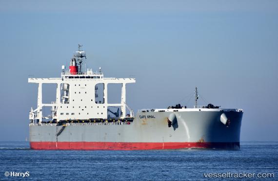
Cape Amal
Current StatusWhere is the vessel?
Cape Amal is currently in 75 nm E of Muara Pantai, based on AIS data received about 4h ago.
Latest AIS update:
Current position: 1.60650° N, 119.32545° E (75 nm E of Muara Pantai)
Average speed (last 7 days): Loading…
Average speed (last 30 days): Loading…
Vessel profile: Cape Amal is a Bulk Carrier with dimensions 45m x 292m.
This page combines live AIS, route history, probable destination signals, nearby traffic, and port activity for practical vessel monitoring.
The current position of vessel Cape Amal is 1.60650 lat / 119.32545 lng. Updated: 2026-04-09 15:39:01 UTCNearest reference points:
- 81 nm E of Muara Pantai
- 69 nm E of Kaliorang
- Near Muara Pantai
Details:
Live Vessel Cape Amal Analytics (details, animations, etc.)
Recent AIS points (UTC):
2026-04-09 10:20:49 UTC · 0.61647, 119.18922 · SOG 11.7 kn · COG 11°2026-04-09 13:35:22 UTC · 1.20719, 119.27705 · SOG 11.7 kn · COG 8°
2026-04-09 15:39:01 UTC · 1.60650, 119.32545 · SOG 11.8 kn · COG 10°
2026-04-09 15:39:01 UTC · 1.60650, 119.32545 · SOG 11.8 kn · COG 10°