 vesseltracker.com
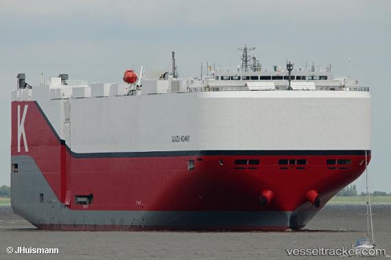
 Iguazu Highway
Current Status
Where is the vessel?
Iguazu Highway is currently in 211 nm NE of Cap Malheureux, based on AIS data received about 18h ago.
Latest AIS update:
Current position: 17.64348° S, 60.37091° E (211 nm NE of Cap Malheureux)
Average speed (last 7 days): Loading…
Average speed (last 30 days): Loading…
Vessel profile: Iguazu Highway is a Vehicles Carrier with dimensions 199m x 37m.
This page combines live AIS, route history, probable destination signals, nearby traffic, and port activity for practical vessel monitoring.
The current position of vessel Iguazu Highway is -17.64348 lat / 60.37091 lng. Updated: 2026-04-10 07:10:16 UTCNearest reference points:
- 219 nm NW of Port Mathurin
- 106 nm NW of Port Mathurin
- 159 nm W of Rodrigues
Currently sailing under the flag of Panama ![]()
Details:
Live Vessel Iguazu Highway Analytics (details, animations, etc.)
Recent AIS points (UTC):
2026-04-10 01:57:23 UTC · -17.00749, 61.59084 · SOG 15.5 kn · COG 240°2026-04-10 03:36:29 UTC · -17.20712, 61.20499 · SOG 15.2 kn · COG 241°
2026-04-10 05:57:07 UTC · -17.49016, 60.65003 · SOG 14.8 kn · COG 240°
2026-04-10 07:10:16 UTC · -17.64348, 60.37091 · SOG 14.8 kn · COG 240°